
How to Engage With the Interactive Mapping Exercise
This section provides suggestions for how interested citizens can engage with the Interactive Map.
Comments received on the interactive map are an important input to government. It is essential that you take a look - starting with important wildlife areas, or your favourite trails!
Please note that there are a number of important information layers that can be turned on/off by opening the layer list and checking/unchecking layers. When you’re on the map, click on the icon in the top right corner.
Next, if you click on “Reference Layers” you will see a number of important ‘layers’ you should toggle on and off. Under the ‘Environment’ heading you can view important layers such as…
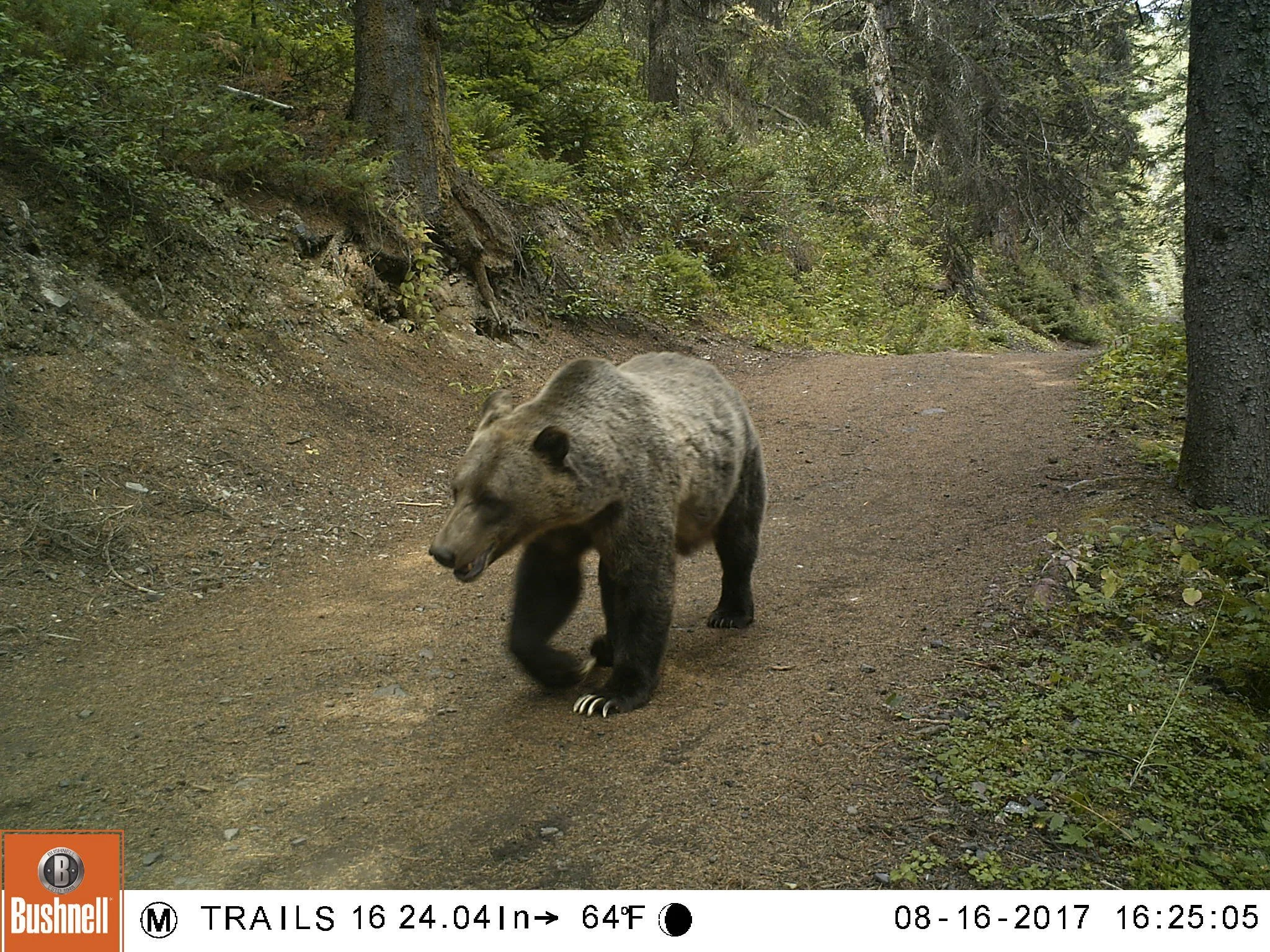
BCEAG wildlife corridors and habitat patches
Fire guard and habitat enhancement
Ministerial order designated trail use only
For the decommissioned trails, add a comment saying that you support closing these trails - and that there needs to be a strong commitment to education and enforcement so that trails aren't rebuilt.
For the new authorized trails, like the new enduro trails, add a comment saying that you support these trails provided other trails are decommissioned, and emphasize the importance of monitoring wildlife and human use in these area, committing to adaptive management.

Photo credit: Government of Alberta